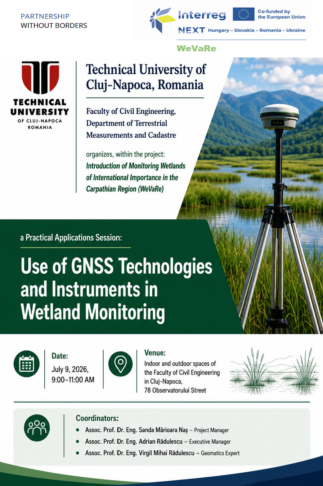
This educational session is designed to provide practical, hands on training in the use of GNSS (Global Navigation Satellite System) technologies and instruments for wetland monitoring. It aligns with the project’s objective of implementing a comprehensive monitoring system that extensively uses remote sensing and geographic information technologies.This Practical Applications Session is addressed to students from the Land Measurement specialisation. By the end of the session, attendees will be better equipped to contribute to the WeVaRe project’s monitoring activities and to apply these skills in their own professional or research contexts.
The main objective of the project will be in particular the assessment of the current state of the natural environment and the biodiversity of wetlands and their surroundings and, based on the information obtained, the development of a wetland monitoring system based on technologies and modern practices.
Acronym:
WeVaRe
Project ID:
HUSKROUA/23/RS/1.2/036
Status:
- in Progress
Call:
- 1st Call for Proposals
Priority:
- A resilient and green border region
Region:
- Zakarpattia oblast
Partners:
State University "Uzhhorod National University" - Uzhhorod (Lead) | University of Žilina, Institute of High Mountain Biology - Žilina | NFA Romsilva – Administration of Maramures Mountains Nature Park - Viseu de Sus | Technical University of Cluj-Napoca - North University Center of Baia Mare - Cluj-Napoca | Poloniny National Park Administration with headquarters in Stakcin - Stakcin | Synevyr National Nature Park - Synevyr